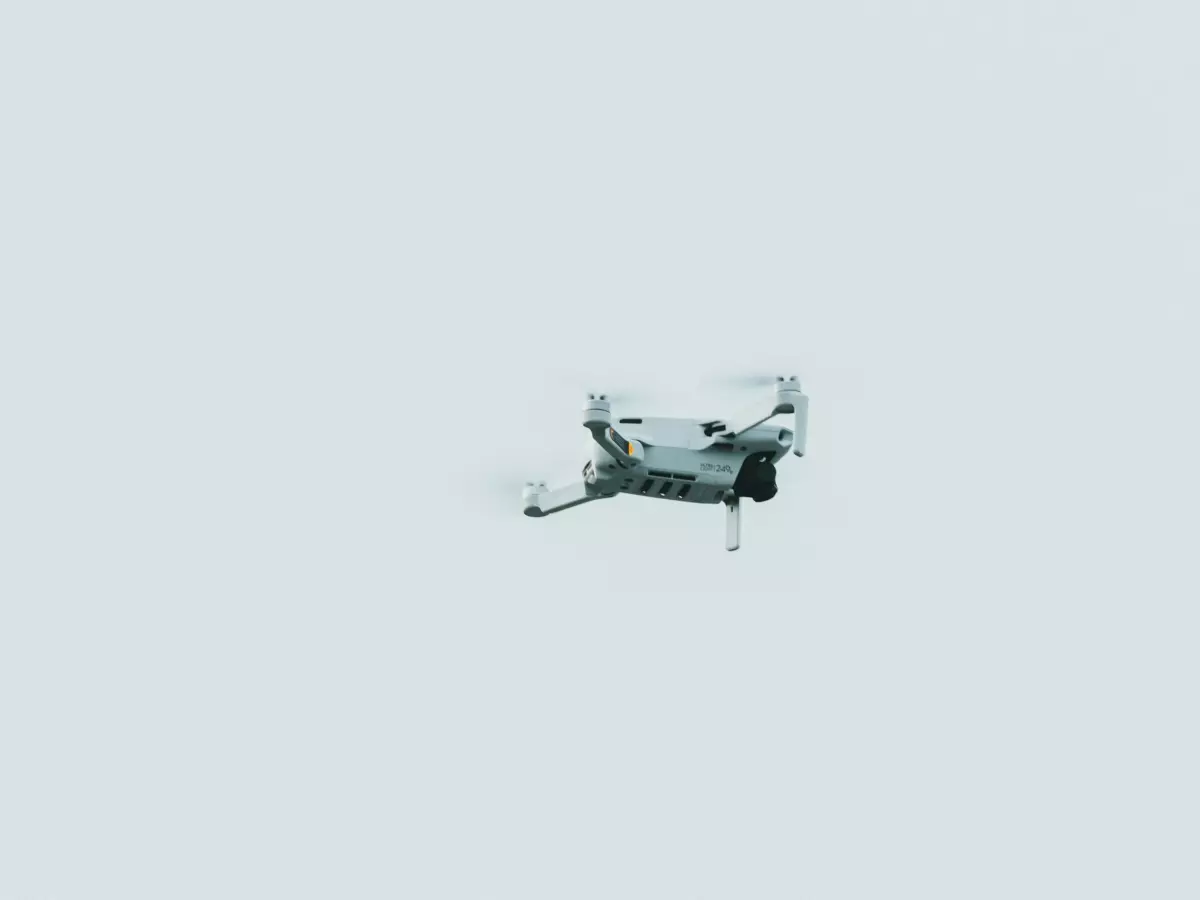
Mapping the Future
Imagine you're hiking through a dense forest, and you send up your drone to map the terrain ahead. No GPS, no manual control—just pure autonomy. How does it know where to go, what to avoid, and how to create a detailed map of the terrain below?
By Marcus Liu
So, how do drones autonomously map terrain? If you're thinking it's all about GPS, think again. While GPS is helpful, it's not always reliable—especially in dense forests, urban canyons, or indoors. That's where sensor fusion comes into play, blending data from multiple sensors to give the drone a complete picture of its environment. But sensor fusion is just the start. The real magic happens when this data gets processed by the drone's flight control software, enabling it to make real-time decisions, avoid obstacles, and generate accurate terrain maps.
Let's break it down. First, drones rely on a combination of sensors—like LiDAR, cameras, and ultrasonic sensors—to gather information about their surroundings. Each sensor has its strengths and weaknesses. For example, LiDAR is excellent at measuring distances with precision, but it's not great at detecting colors or textures. Cameras, on the other hand, can capture detailed images but struggle in low-light conditions. Ultrasonic sensors are useful for detecting nearby objects but don't work well over long distances.
This is where sensor fusion comes in. By combining data from these different sensors, the drone can create a more accurate and comprehensive understanding of its environment. It's like giving the drone multiple sets of eyes, each with a different perspective, and then merging those perspectives into one cohesive view. The flight control software then processes this data, allowing the drone to make real-time adjustments to its flight path, avoid obstacles, and map the terrain below.
Flight Control Software: The Brain Behind It All
Now, let's talk about the flight control software. This is the brain of the drone, responsible for interpreting the sensor data and making decisions. It's not just about keeping the drone stable in the air—although that's a big part of it. The software also has to process the sensor data in real-time, identify obstacles, and adjust the drone's flight path accordingly.
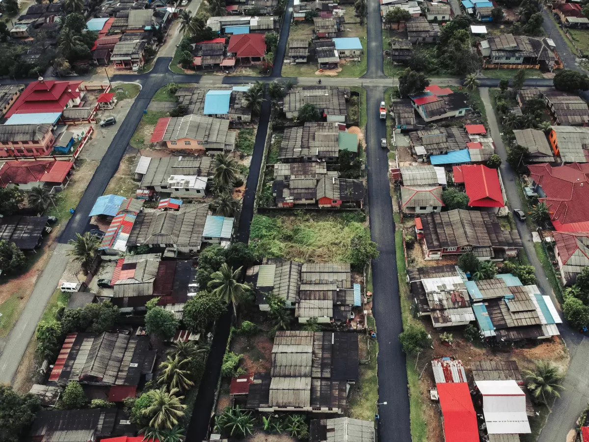
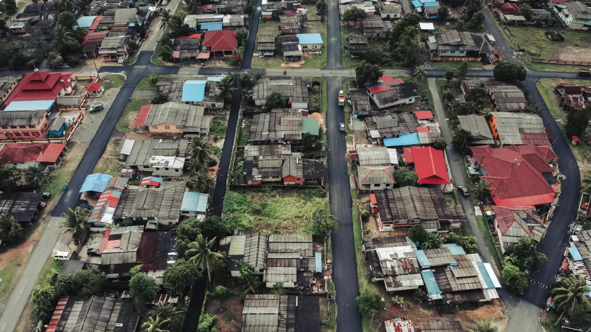
For terrain mapping, the flight control software uses algorithms to stitch together the data from the sensors and create a 3D map of the environment. This involves a lot of complex calculations, especially when the drone is flying over uneven terrain or through areas with lots of obstacles. The software has to constantly adjust the drone's altitude, speed, and direction to ensure that it captures accurate data without crashing into anything.
One of the key challenges in terrain mapping is dealing with dynamic environments. For example, if you're mapping a forest, the drone might encounter moving objects like animals or swaying trees. The flight control software has to be smart enough to recognize these changes and adjust the drone's flight path in real-time. This is where advanced algorithms, like simultaneous localization and mapping (SLAM), come into play. SLAM allows the drone to build a map of its environment while simultaneously keeping track of its own position within that environment.
Autonomy: Beyond GPS
While GPS is often used for navigation, it's not always reliable—especially in environments where the signal is weak or obstructed. That's why drones rely on sensor fusion and advanced algorithms to navigate autonomously. By combining data from multiple sensors, the drone can create a detailed map of its surroundings without relying on GPS. This is particularly useful in environments like forests, caves, or urban areas where GPS signals can be blocked or distorted.
In fact, some of the most advanced drones can navigate entirely without GPS, using only their onboard sensors and flight control software. This level of autonomy is made possible by the combination of sensor fusion, real-time data processing, and advanced algorithms like SLAM. The result is a drone that can fly through complex environments, avoid obstacles, and map the terrain with incredible precision—all without any human intervention.
The Future of Autonomous Terrain Mapping
So, what's next for autonomous terrain mapping? As sensor technology continues to improve, we can expect drones to become even more capable of mapping complex environments with greater accuracy and efficiency. For example, new sensors like hyperspectral cameras can capture data beyond the visible spectrum, allowing drones to map not just the physical terrain but also the chemical composition of the environment. This could have huge implications for industries like agriculture, where drones could be used to monitor crop health or detect soil conditions.
Another exciting development is the integration of AI and machine learning into drone flight control software. By training drones to recognize patterns in the data they collect, we could see drones that are capable of making even more intelligent decisions in real-time. For example, a drone could learn to recognize specific types of terrain or obstacles and adjust its flight path accordingly, without needing to rely on pre-programmed instructions.
In conclusion, autonomous terrain mapping is one of the most exciting applications of drone technology today. By combining sensor fusion, advanced flight control software, and cutting-edge algorithms, drones are able to navigate complex environments and create detailed maps with incredible precision. And as the technology continues to evolve, the possibilities for what drones can achieve are only going to grow.
