Precision in the Air
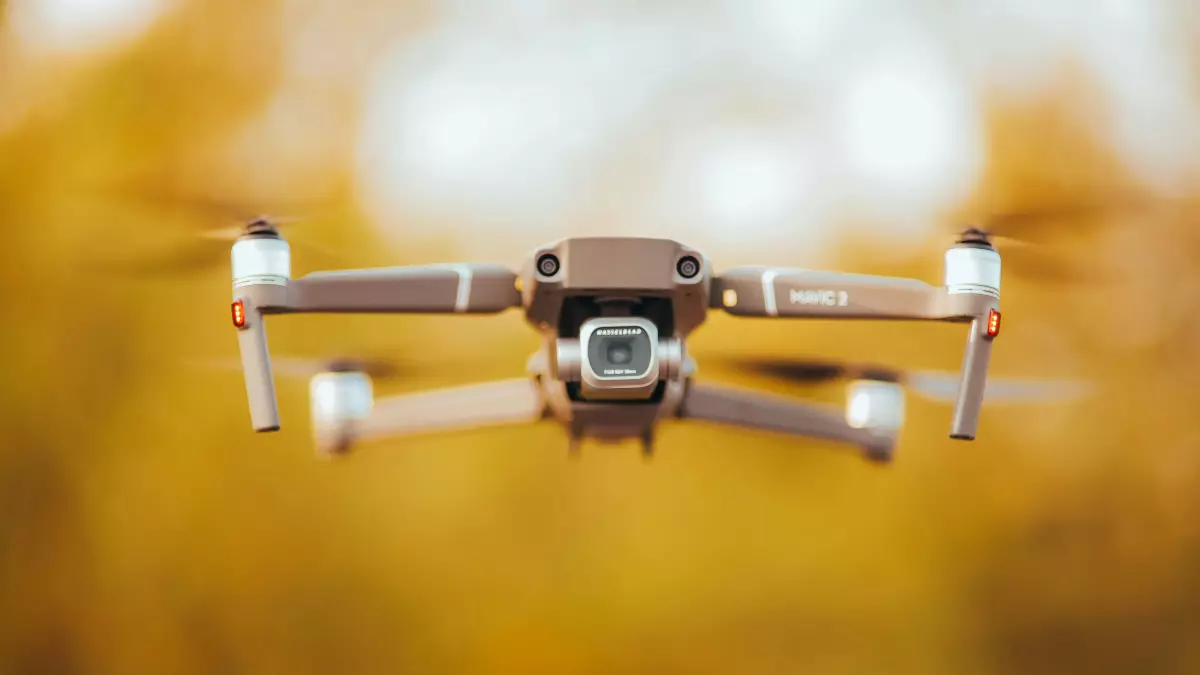
Drones are no longer just flying cameras or toys; they’re precision machines capable of astonishing feats. But have you ever wondered how they achieve such seamless control in the air?
By Elena Petrova
Most people assume that a drone’s ability to hover, maneuver, and navigate comes down to its hardware—powerful motors, lightweight frames, and advanced propellers. While hardware plays a role, the real magic lies in the software and the way drones process data from their sensors. This is where sensor fusion and flight control software come into play, transforming raw data into actionable intelligence for precision control.
However, achieving this level of precision isn’t as simple as slapping a few sensors onto a drone. It’s a symphony of algorithms, real-time data processing, and autonomous decision-making. So, how exactly does this all work? Let’s break it down into seven key techniques that make drones the masters of precision control.
1. Balancing Act: Gyroscopes and Accelerometers
At the heart of every drone’s stability are gyroscopes and accelerometers. These sensors measure angular velocity and linear acceleration, respectively. But here’s the catch: on their own, they’re not perfect. Gyroscopes tend to drift over time, while accelerometers are prone to noise. By fusing data from both, drones can calculate their orientation and position with remarkable accuracy.
The flight control software takes this fused data and makes micro-adjustments to the motors in real-time, ensuring the drone stays balanced—even in windy conditions. It’s like a tightrope walker constantly adjusting their footing to stay upright.
2. GPS Meets IMU: Navigating the Skies
For outdoor flights, GPS is a drone’s best friend. It provides location data, but it’s not enough for precise navigation. That’s where the Inertial Measurement Unit (IMU) comes in. By combining GPS data with IMU readings, drones can calculate their speed, altitude, and direction with pinpoint accuracy.
This sensor fusion allows drones to follow pre-programmed flight paths or autonomously navigate to specific coordinates. It’s the reason your drone doesn’t end up in your neighbor’s yard when you’re trying to capture that perfect sunset shot.
3. Visual Odometry: Eyes in the Sky
Ever noticed how some drones can fly indoors without GPS? That’s thanks to visual odometry. By analyzing images captured by onboard cameras, drones can estimate their movement relative to their surroundings. This technique is especially useful in GPS-denied environments, like inside buildings or under dense tree canopies.
When combined with data from other sensors, visual odometry enables drones to maintain their position, avoid obstacles, and even map their environment in real-time. It’s like giving your drone a pair of eyes and a brain to process what it sees.
4. Altimeters and Barometers: Mastering Altitude
Maintaining a consistent altitude is crucial for tasks like aerial photography, surveying, or package delivery. Drones achieve this using altimeters and barometers. Altimeters measure altitude based on air pressure, while barometers detect changes in atmospheric pressure.
By fusing data from these sensors, drones can hover at a fixed height or adjust their altitude dynamically based on the terrain. This is particularly useful for missions that require precision, such as inspecting infrastructure or spraying crops.
5. Magnetometers: Staying on Course
Magnetometers act as digital compasses, helping drones determine their heading. But magnetic interference from nearby objects can throw off their readings. To counter this, drones combine magnetometer data with information from gyroscopes and accelerometers.
This fusion ensures that drones stay on course, whether they’re following a straight line or executing complex maneuvers. It’s like having a built-in navigator that keeps the drone pointed in the right direction.
6. Obstacle Avoidance: Seeing and Reacting
Modern drones are equipped with a variety of sensors for obstacle detection, including ultrasonic sensors, LiDAR, and stereo cameras. Each of these sensors has its strengths and weaknesses. For example, ultrasonic sensors are great for detecting nearby objects but struggle with certain materials, while LiDAR excels at mapping but can be expensive.
By fusing data from multiple sensors, drones can create a comprehensive picture of their surroundings. This allows them to avoid obstacles in real-time, whether they’re flying through a dense forest or navigating a cluttered warehouse.
7. Autonomy: The Role of AI
All of this sensor data would be useless without the flight control software to process it. Advanced drones use AI algorithms to analyze sensor inputs, predict potential issues, and make decisions on the fly. This level of autonomy enables drones to perform complex tasks, like inspecting power lines or delivering packages, without human intervention.
AI also plays a role in optimizing flight paths, conserving battery life, and adapting to changing conditions. It’s the final piece of the puzzle that turns a collection of sensors into a fully autonomous flying machine.
So, the next time you see a drone zipping through the air with precision, remember that it’s not just a marvel of engineering—it’s a testament to the power of sensor fusion and software. And who knows? As technology continues to evolve, we might see drones achieving feats we can’t even imagine today.
