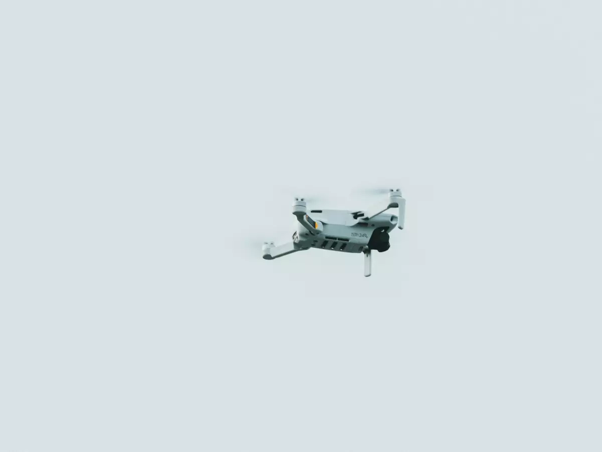
Path Planning
Ever wonder how drones seem to magically avoid obstacles while flying through tight spaces? Spoiler alert: it's not magic, it's sensor fusion working overtime!

By Sarah Kim
In 2025, the global drone market is projected to reach a staggering $58.4 billion. That's a lot of flying robots! But here's the kicker—most of these drones aren't just flying in straight lines. They're navigating complex environments, dodging obstacles, and finding the best routes to their destinations. How do they do it? The answer lies in the intricate dance between flight control software, sensor fusion, and autonomy.
At the heart of this dance is something called autonomous path planning. This is the process that allows drones to chart their own course, even in environments that are constantly changing. And while it might sound like something out of a sci-fi movie, it's happening right now, thanks to the magic of sensor fusion.
What Exactly Is Sensor Fusion?
Before we dive into path planning, let's get one thing straight: sensor fusion is the secret sauce that makes all of this possible. In simple terms, sensor fusion is the process of combining data from multiple sensors to create a more accurate picture of the world. Think of it like this: if you were trying to navigate a maze with just your eyes, you'd probably bump into a few walls. But if you had eyes, ears, and a sense of touch all working together, you'd have a much better chance of making it through unscathed. That's exactly what sensor fusion does for drones.
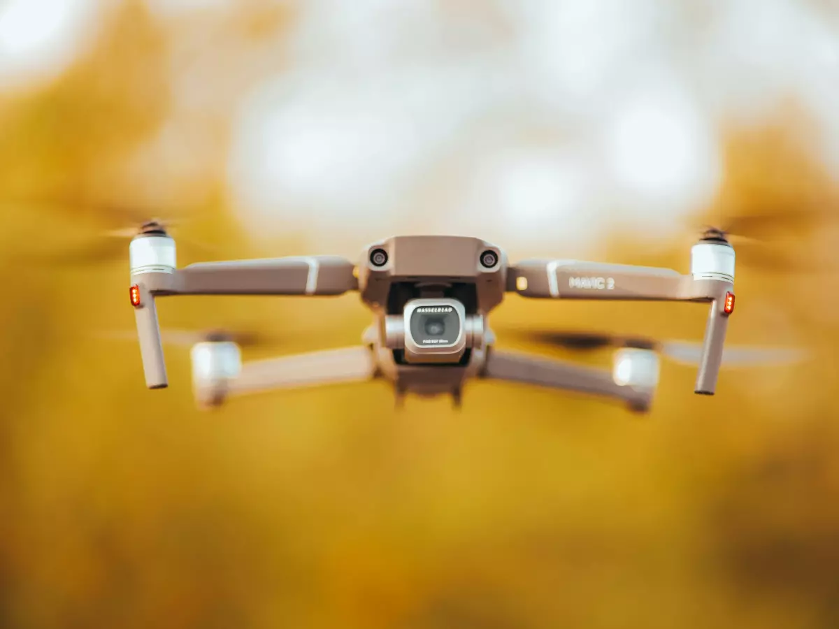
Drones are equipped with a variety of sensors—GPS, cameras, LiDAR, ultrasonic sensors, and more. Each of these sensors provides a different piece of the puzzle. GPS tells the drone where it is in the world, cameras give it a visual representation of its surroundings, and LiDAR helps it measure distances to objects. But no single sensor can give the drone all the information it needs to navigate safely. That's where sensor fusion comes in. By combining data from all of these sensors, the drone can build a comprehensive, real-time map of its environment.
Path Planning: The Art of the Perfect Route
Now that we've covered sensor fusion, let's talk about how drones use it for path planning. Path planning is all about finding the best route from point A to point B while avoiding obstacles and optimizing for factors like speed, energy efficiency, and safety. It's like Google Maps for drones, but with a lot more complexity.
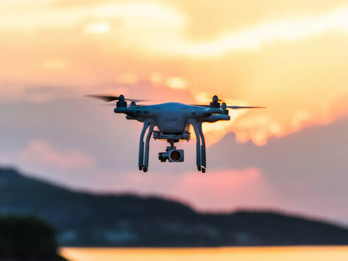
When a drone is tasked with flying from one location to another, it doesn't just take the shortest route. Instead, it uses sensor fusion to analyze its surroundings and determine the safest, most efficient path. For example, if the drone detects an obstacle in its path—like a tree or a building—it will automatically adjust its route to avoid a collision. And because the drone is constantly receiving new data from its sensors, it can make these adjustments in real-time.
But here's where things get really interesting. Drones don't just avoid obstacles—they can also predict where obstacles will be in the future. This is thanks to something called predictive path planning. By analyzing the movement of objects in its environment (like people, cars, or other drones), the drone can anticipate where those objects will be and adjust its path accordingly. This allows the drone to navigate dynamic environments with ease.
Flight Control Software: The Brain Behind the Operation
Of course, none of this would be possible without the flight control software that ties everything together. The flight control software is essentially the brain of the drone, responsible for processing all of the data from the sensors and making decisions about how the drone should move. It's what allows the drone to autonomously plan its path, avoid obstacles, and reach its destination safely.
Modern flight control software is incredibly sophisticated, capable of handling complex tasks like real-time obstacle avoidance, predictive path planning, and even swarm coordination (where multiple drones work together to complete a task). And as drones become more advanced, so too will the flight control software that powers them.
The Future of Autonomous Path Planning
So, where is all of this headed? As sensor technology continues to improve and flight control software becomes more advanced, we can expect drones to become even more autonomous. In the near future, drones could be capable of navigating entirely on their own, without any human intervention. This could open up a whole new world of possibilities, from fully autonomous delivery drones to search-and-rescue missions in dangerous environments.
But perhaps the most exciting development on the horizon is the integration of artificial intelligence (AI) into drone systems. With AI, drones could become even smarter, capable of learning from their surroundings and making decisions based on past experiences. This could take autonomous path planning to a whole new level, allowing drones to navigate even the most complex environments with ease.
So, the next time you see a drone zipping through the sky, remember that there's a lot more going on behind the scenes than meets the eye. From sensor fusion to flight control software, these flying robots are using cutting-edge technology to chart their own course—and the future looks brighter than ever.
